Winter Maps & Terrain
Explore our Vermont snow mountains
-
Lincoln Peak rich-text, responsive-tableOriginally known as Sugarbush Valley, Lincoln Peak is home to the iconic Castle Rock, North Lynx, and Lincoln Peak itself. This area offers the majority of Sugarbush’s terrain, along with most of the resort’s amenities, including Rumble’s Bistro & Bar, Castlerock Pub, and the Wunderbar. The Schoolhouse is the center for children’s day ski-and-ride programs, while The Farmhouse hosts Sugarbush’s renowned Ski & Ride School, offering everything from first-timer-to-life timer lessons to skill-building ski and ride programs.
rich-text, responsive-tableLincoln Peak STATS Trail Count 72 Terrain Parks 2 Wooded Areas 17 Summit Elevation 3975'/1212 m Base Elevation 1575'/480 m Vertical Drop 2400'/732 m Lifts 10
rich-text, responsive-tablecarousel-component -
Mt Ellen rich-text, responsive-tableMt Ellen’s laid-back vibe may appeal to the ski bum, but there’s more than meets the eye. Home to Vermont’s highest chairlift and our premier terrain park, Mt Ellen also hosts Green Mountain Valley School's elite ski racing academy, a U.S. Ski Team Development Site and serves as the northern Vermont base for Vermont Adaptive Ski and Sports. Known for its old-school Vermont charm, Mt Ellen is a local favorite, offering a more relaxed, authentic mountain experience.
rich-text, responsive-tableMt Ellen STATS Trail Count 39 Terrain Parks 2 Wooded Areas 11 Summit Elevation 4083'/1245 m Base Elevation 1483'/452 m Vertical Drop 2600'/793 m Lifts 7
rich-text, responsive-tablecarousel-component -
Slide Brook Basin rich-text, responsive-table
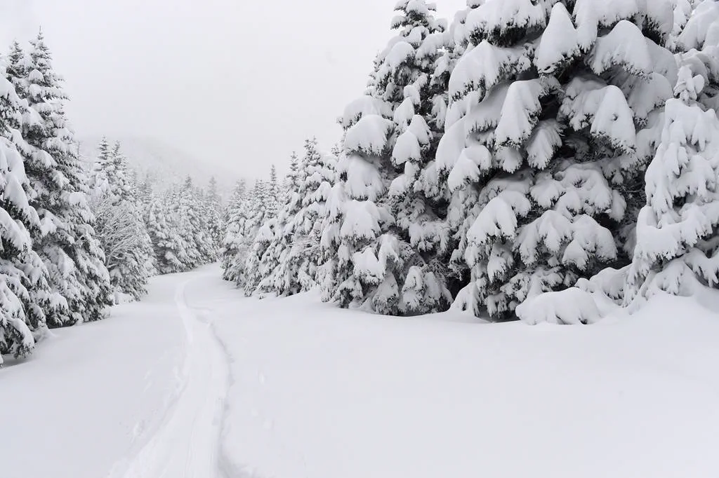
Nestled between Lincoln Peak and Mt Ellen, the 2,000-acre Slide Brook Basin offers a haven for wildlife, including moose, black bears, white-tailed deer, and more. In winter, it transforms into a tranquil backcountry escape for skiers and riders seeking solitude. The wooded terrain in Slide Brook Basin flows down toward Slide Brook Road, which leads to German Flats Road. A Mad Bus stop at the bottom of Slide Brook Road provides access for skiers and riders to catch a lift back to either the Lincoln Peak or Mt Ellen base areas.
For those venturing into Slide Brook, it’s highly recommended to book a Private Lesson or Guide through Sugarbush Ski & Ride School. Please note that once you enter Slide Brook Basin, you are leaving resort boundaries and are subject to Off-Trail Policies.
rich-text, responsive-tablecarousel-component
Off-Trail Policies
Wooded areas are not patrolled and have no skier/snowboarder services. If you ski/ride in wooded areas, you are solely responsible for yourself. Woods are recommended for expert skiers/riders in groups of three or more. Do not ski/ride alone. Unmarked obstacles exist throughout.
VERMONT LAW provides that you are liable for all expenses related to search and/or rescue if you venture off of designated trails or beyond the ski area boundary.
rich-text, responsive-table -
Uphill Travel rich-text, responsive-tableAt Sugarbush, we welcome uphill travel, with multiple designated skinning routes available for both uphill and downhill access. Uphill travel is typically allowed in the mornings and evenings at Lincoln Peak, and on a 24/7 basis at Mt. Ellen. Before you head out, be sure to check the snow report for current route status, as conditions and openings may change. For safety, an uphill pass is required, which is free but must be obtained prior to your climb. Uphill travelers must follow safe uphill practices, including adhering to designated routes and respecting operational schedules.
KNOW BEFORE YOU GO: Please check for conditions and closures, respect our uphill policy, and make sure you have your uphill pass. There is NO uphill travel pre-early season due to unpredictable operations.
UPHILL PASS rich-text, responsive-tablecarousel-component -
Navigating Between the Mountains rich-text, responsive-table
Navigating our resort is easy with convenient access between our two mountains. Once both mountains are open, you can take advantage of the Slide Brook Express Lift, the longest detachable quad chairlift in the world at just over 11,000 feet. The Slide Brook Express spans over 2 miles in one direction, allowing riders to travel between mountains in both directions. The lift operates from 10-3 PM on select days, depending on snow conditions and weather.
To make your journey even easier, the Mad Bus runs daily between Lincoln Peak and Mt. Ellen, providing a seamless connection between the two mountains. For the latest bus schedule, check the Mad Bus Schedule.
Bus Schedule
rich-text, responsive-tablecarousel-component -
Terrain
Total Acres: 4,000+
On-Trail Acres: 484
Trail Count: 111
Terrain Parks: 4
Wooded Area Acres: 97
Length of Trail: 53.2 miles/85 km
Wooded Areas: 28
Summit Elevation: 4,083'/1,245 m
Base Elevation: 1,483'/452 m
Vertical Drop: 2,600'/793 m
Average Annual Snowfall: 250"/635 cm
rich-text, responsive-tableThe Mountains
Mt. Ellen: 4,083'/1,245 m
Lincoln Peak: 3,975'/1,212 m
Castlerock Peak: 3,812'/1,162 m
North Lynx Peak: 3,300'/1,006 m
Gadd Peak: 3,150'/960 m
Inverness Peak: 2,750'/838 m rich-text, responsive-tableLifts
High-Speed Quads: 5
Fixed-Grip Quads: 6
Triples: 1
Double: 1
Surface Lifts: 3
Total: 16
Uphill Capacity: 25,225
rich-text, responsive-tableTERRAIN STATS TERRAIN COUNT ACRES % GREEN CIRCLE 26 108 18.7% BLUE SQUARE 47 227.6 33.8% BLACK DIAMOND 30 116.8 21.6% DOUBLE BLACK DIAMOND 8 31.9 5.8% WOODED AREAS 28 97 20.1% TOTALS 139 581 100%
rich-text, responsive-table

Lincoln Peak and Mt. Ellen
-
lifts
16 -
trails
111 -
wooded areaS
28


